The Vostitsa Landscape
Companion for THDD episode 2.12
The characteristics of a landscape do not determine how people use an area, but provide the --literal-- bedrock and materials for human construction and other endeavors.
Presented here are a few landscape analyses, created using modern data:
1. Slope - change in elevation over a known distance
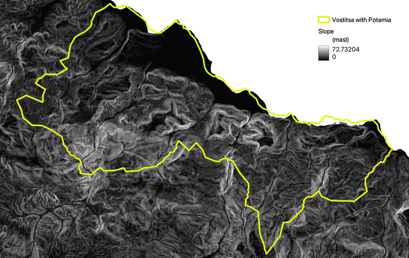
Note that the 1700 boundary does not match the modern coastline. Of interest is the dark area in the northwestern part of the territory, which is the area near the town of Vostitsa or Aigio, which has little slope in comparison with most other parts of the area.
2. Ruggedness - difference in elevation between adjacent cells
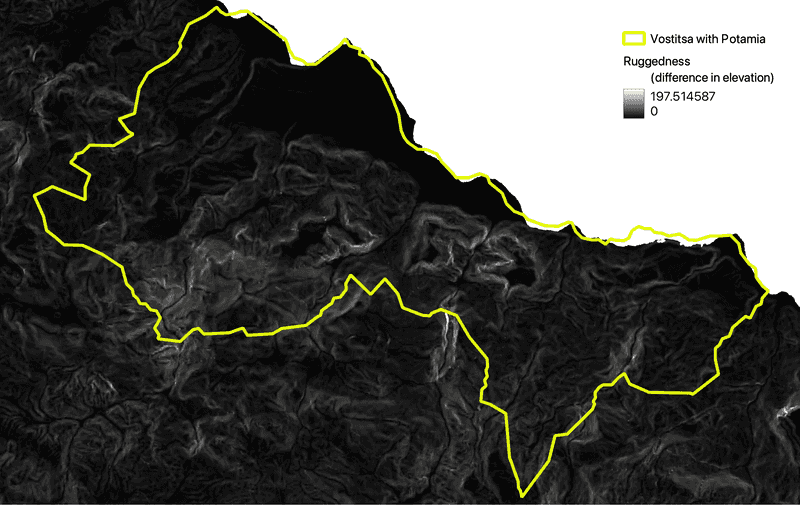
Ruggedness shows whether the terrain is jagged with a lot of up and down, or smooth, with more constant elevation. In the Vostitsa area, some of the most rugged locations are ravines and in the areas to the south, which lead to higher mountains.
3. Landforms - classified landscape segments
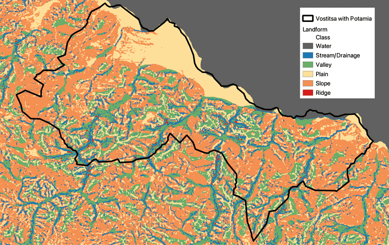
Landforms were classified using the TPI landforms tool in the SAGA portion of the QGIS processing toolbox, then consolidated to 6 classes: water, stream or drainage, valley, plain, slope, and ridge. Note that most, but not all the plains are along the coast and that the non-plain landscape is dissected by ravines, most of which only have water seasonally.
4. Streams - manually digitized
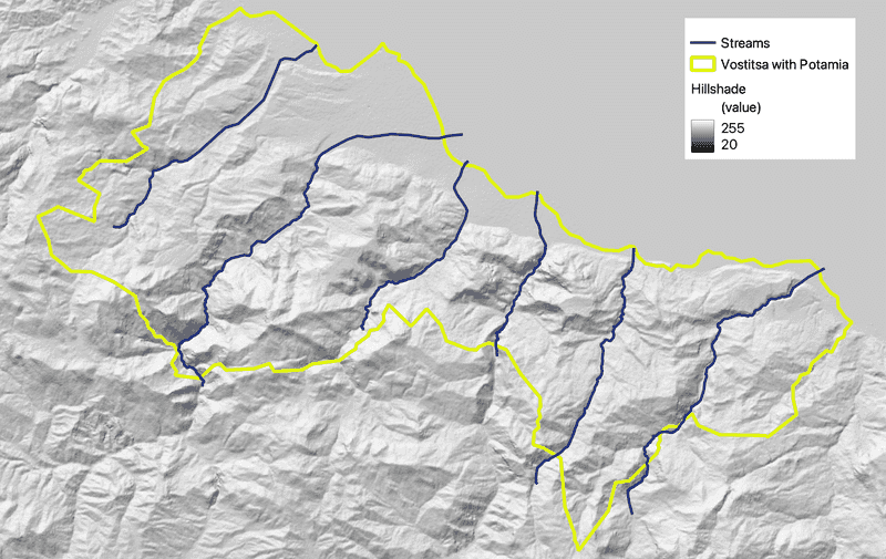
The six streams were digitized manually using a Google Earth satellite imagery layer in QGIS. From west to east the streams are named: Rema Meganitas, Selinous Potamos, Rema Kerinitis, Vouraikos, Unnamed, and Krathis. The Unnamed stream is attested to on the 1700 Venetian map, but has no modern name, despite being evident on satellite imagery.
5. Town of Vostitsa in 1823 with Plane Tree
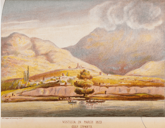
Painted by William Black in a book published about his travels on British naval ships during the Greek War of Independence. Note the large plane tree, which is before the pink-colored cliff upon which most of the town is located. According to accounts of the May 14, 1748 earthquake, the third tsunami wave reached higher than the plane tree. The present-day plane tree in that location is much smaller and this painting may exaggerate the size of the tree in 1823.
The image was downloaded from the Travelogues Website where you can find more information about the image and William Black.